People searching for Ocala farm land for sale are usually buying pasture, fence line, and a parcel — not a branded farm. Call 352-780-8850 with the acreage you want and I will tell you what I can show you.
I’m Sean Kaptaine, a Florida land investor. I say Ocala horse country. I point you at the county map. This guide is what I check on pasture and farm acreage in Marion County.
What horse farm land near Ocala actually is
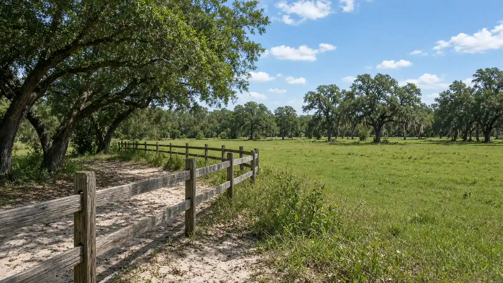
Horse country here is sandy roads, oak shade, four-board fence, and pasture. Some tracts already have fence. Some are woods you would clear. Some sit in the Farmland Preservation Area on the Future Land Use Map. That overlay is a county line, not a marketing phrase.
A long, narrow tract with no room to turn around is a different property than a square ten acres with a high spot. Acreage on the parcel ID is one number. Shape, drainage, and how you enter from the road are the rest of the file.
Fort McCoy and Citra are where farm acreage comes up on my calls. A recorded lot in Marion Oaks is not a horse farm. If you want pasture, say Fort McCoy, Citra, or farm acreage. If you want a platted lot, say the community name.
See land around Fort McCoy and Citra for how I treat that part of the county. This guide stays on fence, water, and zoning for pasture.
Fence, water and the parcel ID
Fence on the ground is a cost and a fact. Four-board along a sandy road is one scene. No fence and a two-track is another. I describe what is there. Fence cost is a separate bid.
Water is a well file or a tap. Vacant farm acreage is often a well. Septic is an onsite system. Confirm both with the county and the state for that parcel ID. Soil and drainage decide whether the grass holds. I walk the tract and tell you what I see. A surveyor and the county finish the picture. A lab test is a separate file.
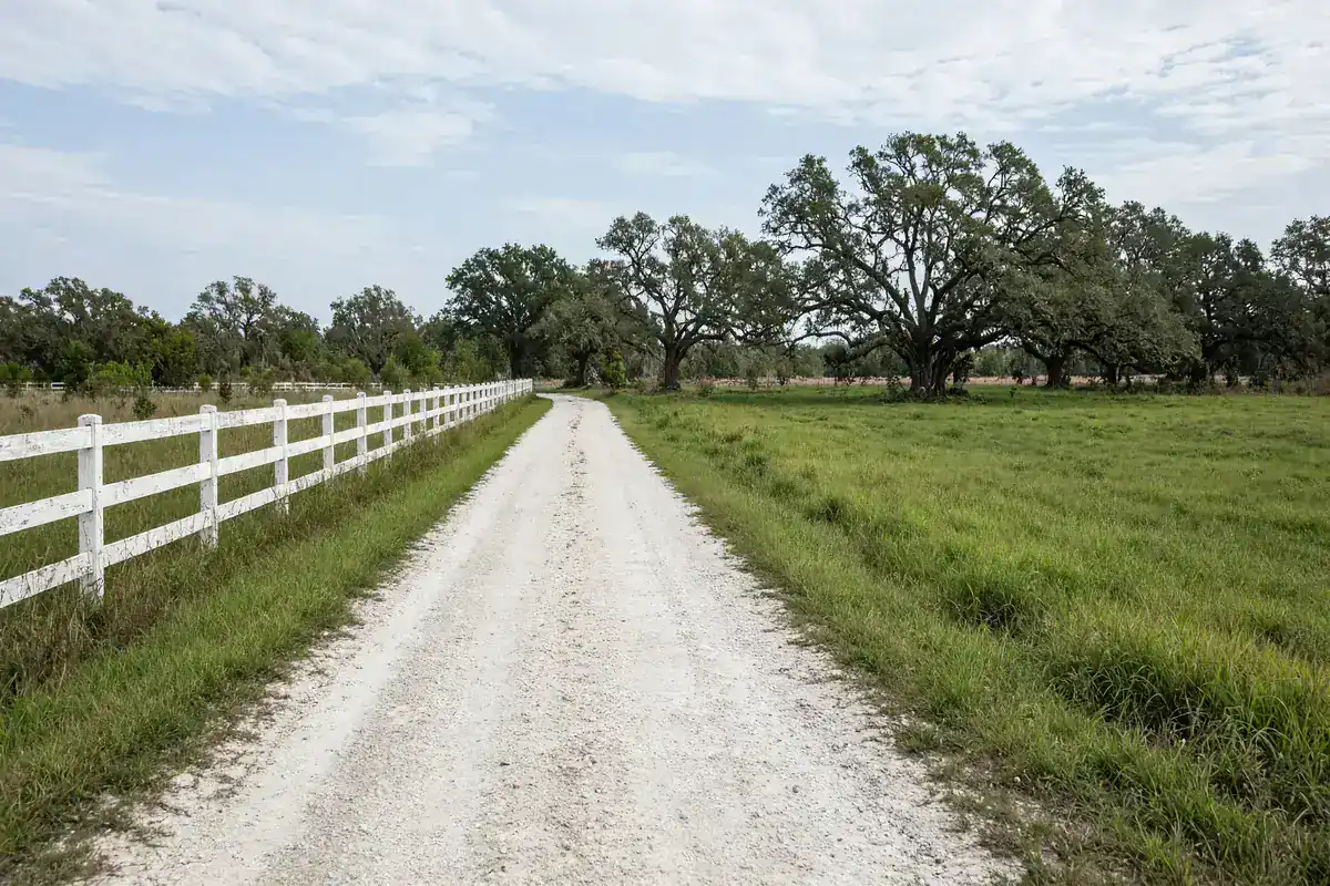
Access still matters. County-maintained, private, or a lime-rock lane are different answers. A horse trailer and a passenger car are different widths. Walk the entrance.
Zoning on pasture and farm acreage in Marion County
Zoning for the parcel is on Growth Services GIS. The county says: “The GIS map is a helpful resource for residents, property owners, developers, & consultants seeking general information about sites & surrounding areas within Marion County.” The classification’s lot, setback, and use rules are in Article 4 of the Land Development Code. Agricultural classifications in that article have their own tables. Read the section that matches the map.
If the parcel sits in the Farmland Preservation Area, read those plan policies too. County plan text says: “Hamlet and Cluster Density Bonus developments shall not be permitted within the FPA.” That is an overlay fact. Confirm it on the current map.
If you want a barn, a house, or only pasture, say that on the call. Those uses are different code paths. Fence, well, and zoning remain three separate files.
Pasture near Fort McCoy versus a recorded lot
Keep a platted lot and a horse tract on different calls. Marion Oaks, Rainbow Lakes Estates, and Silver Springs Shores are recorded subdivisions. Fort McCoy and Citra are where farm acreage comes up. You confirm zoning, flood zone, access, and utilities with Marion County before you buy.
Walk the entrance with a trailer in mind if that is the use. Bring the acreage you want and the parcel ID if you have it. Photos of the fence and the entrance help if you are selling. A tax bill helps.
If you own farm acreage and want it advertised here by owner, or you want an offer, call with the parcel ID, acreage, and asking price. I sell land by owner. I advertise other owners’ pasture here. I buy land when the parcel ID and the price line up.
Pasture, fence, and a sandy entrance are the scene buyers mean when they say horse farm land near Ocala. The parcel ID, the overlay, and Article 4 are the file. Pull GIS. Walk the entrance. Then call 352-780-8850 with the acreage you want and the parcel ID if you have it.
Name the acreage, the fence you already have, and whether you want a well on that tract when you call. A four-board line along a lime-rock lane is one conversation. Woods with no gate is another. I describe the entrance, the shade, and the grass as they sit. You still pull the parcel ID, open GIS, and confirm zoning, flood zone, access, and utilities with Marion County.
If you are selling pasture, the same three items start the call: parcel ID, acreage, and asking price. Tell me if a trailer can turn around at the gate. Tell me if there is already a well. I will tell you the next step, whether that is a by-owner page here or an offer from me. Keep a Silver Springs Shores lot off this call. Keep this call on the farm tract.
The 2045 Future Land Use Map legend lists Rural Land at one dwelling per ten acres and shows the Farmland Preservation Area as its own overlay. Some horse tracts sit on both. Some sit on Rural Land only. That is why the parcel ID comes first. The map does not care that the neighbor has a barn. The map cares which line crosses your corners.
Start with the Marion County GIS interactive map. I answer as Sean Kaptaine, Florida land investor. Keep the horse-tract conversation on one parcel at a time so fence, water, and zoning stay aligned on that purchase.
Call with one parcel ID at a time. I will look at that pasture with you on this call today, in Marion County, Florida. Call 352-780-8850.
Call about land in Ocala, FL