People who are buying land in Ocala still have a county file to run: zoning, a well or a water tap, and septic or sewer. Call 352-780-8850 with the parcel ID when you want me to look at a specific tract with you.
I’m Sean Kaptaine, a Florida land investor. This guide is the checklist I use on vacant lots and acreage in Marion County. It is not a permit. Growth Services and the state issue those.
Pull the parcel ID and the zoning map in Marion County
Start with the parcel ID on the Marion County Property Appraiser site. That record is the legal description, the acreage the county has on file, and the assessed value. Walk the corners with that sheet in hand so the pin on the ground matches the pin on the paper.
Then open Growth Services GIS. The county says: “The GIS map is a helpful resource for residents, property owners, developers, & consultants seeking general information about sites & surrounding areas within Marion County.” Planning Division sits at 2710 E. Silver Springs Blvd., Ocala, 352-438-2600, on that same GIS page. The map is a starting point. Confirm the layers against official records.
The 2045 Future Land Use Map legend lists Rural Land at one dwelling per ten acres, residential ranges, commercial, public, preservation, a Farmland Preservation Area, and an Urban Growth Boundary. Which box sits on your parcel is a map question. A community name is not a substitute for the parcel ID.
Zoning classifications and their lot, setback, and use rules live in Article 4 of the Marion County Land Development Code. Read the section that matches the layer on the map. A recorded lot in Marion Oaks and a ten-acre tract near Fort McCoy are different code sections.
For the county-wide picture of lots and acreage by area, see Marion County land by area. This guide stays on the file you run before you write a check.
Well and septic on a vacant Marion County lot
Many vacant tracts in this county are well and septic, not a water meter and a sewer tap. That is a street-by-street and parcel-by-parcel fact. Neighboring houses with meters tell you something. An empty dirt road tells you something else. Ask the county how that street is served.
Onsite sewage in Marion County is a state permitting file. Florida DEP’s onsite sewage FAQ says DEP is permitting those systems in Marion County, with Marion County listed as of July 1, 2025. You still confirm water and sewer availability with the county for that road. I describe what I see. Permits come from the county and the state.
A well is its own file: location, setbacks, and whether the land can actually host one. Flood zone is a separate overlay. Growth Services can help you read flood maps. Confirm the zone on the parcel ID before you buy.
Access, utilities and what to confirm before you buy
Access is how you get from pavement to the corner. County-maintained, private, or a two-track through pines are three different answers. A cheap asking price sometimes means the access is the problem. Walk it.
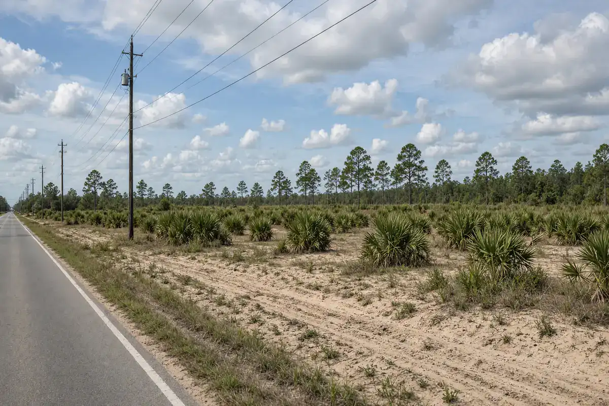
Power poles along the road are a clue, not a tap. Look at whether neighboring houses have meters. Look at whether the lot is in a platted subdivision with assessments. Marion Oaks, Rainbow Lakes Estates, and Silver Springs Shores each have municipal service units; the tax bill is where those numbers live.
If you want a barn, a house, a shop, or a place to park a trailer, say that on the call so we are looking at the same use. Zoning, septic, and well are three files. The deed is a fourth.
How I use this file on a Marion County lot
A second pass on the same parcel still starts with the same three steps: the Property Appraiser sheet, Growth Services GIS, and a walk of the corners. Power poles, neighboring meters, and the tax bill are clues. They are not a tap, a sewer connection, or a permit. Ask the county how that street is served, then ask how onsite sewage is handled on that land.
A vacant lot in Silver Springs Shores and a wooded tract in Citra take the same first steps: parcel ID, GIS, walk, then well and septic questions. The answers differ. Keep the call on one pin. You confirm zoning, flood zone, access, and utilities with Marion County before you buy.
Rainbow Lakes Estates and Marion Oaks add assessment lines on the tax bill. Farm acreage adds overlay questions. Both still start with the same map. Pull it. Walk it. Then call 352-780-8850 if you want me on that parcel with you.
If you are selling, the same file helps. Parcel ID, acreage, asking price, and whether you want a by-owner page or an offer. I will tell you the next step on that call. If you are buying, name the community or the road and I will tell you what I have. Keep Fort McCoy woods and a Silver Springs Shores lot on different conversations.
I sell land by owner. I advertise other owners’ land here. I buy land when the parcel ID and the price line up. This guide is the county file, not the note on a sale.
When you call, have the parcel ID if you can. If you only have a street in Marion Oaks or a road near Fort McCoy, start there. Photos of the corners help if you are selling. A tax bill helps. None of that is required to start the conversation. I will tell you what I have in that area and what I am willing to look at.
Start with the Marion County GIS interactive map. Then call 352-780-8850 with the parcel ID. I answer as Sean Kaptaine, Florida land investor. The county map and the ground have to agree before anyone should write a check on vacant land in Marion County.
Call about land in Ocala, FL