This page maps Marion County by area for people searching land for sale in Ocala, FL — Marion Oaks, Rainbow Lakes Estates, Silver Springs Shores, Fort McCoy, and Citra. Call 352-780-8850 with a parcel ID or a community name.
I’m Sean Kaptaine, a Florida land investor. I sell land by owner in this county, I advertise other owners’ parcels here, and I buy land when the parcel ID and the price line up. This hub is how the county is organized on this site. Each named area will have its own page once those drafts are live. Until then, name the area on the call.
Marion County Subdivision Lots: Marion Oaks, Rainbow Lakes Estates, Silver Springs Shores
Those three names are large, platted communities. Buyers looking at a recorded lot usually land on one of them. Marion Oaks sits southwest of Ocala. Rainbow Lakes Estates sits toward Dunnellon. Silver Springs Shores sits on the east side of the Ocala area. A vacant lot in a named grid is a different buy than raw acreage on a farm road.
Marion County runs municipal service taxing units in these communities. Assessments and millage pay for things like right-of-way work, street lighting, and recreation facilities. The figures change; I log what the county publishes and you confirm the current bill on the parcel ID.
Marion Oaks General Services maintains about 360 miles of right-of-way, roadside mowing, street lighting, and the entrance waterfall. The county lists a $50 per-parcel assessment on that unit. A separate recreation MSTU funds a community center at 294 Marion Oaks Lane, courts, a walking trail, and a splash pad. The county lists about 26,000 parcels in that recreation unit.
Rainbow Lakes Estates is a municipal service district created by the Florida Legislature in 1969. The county says there are more than 11,000 lots, about 175 miles of roadway maintenance, a $35 per-parcel road-construction assessment, and millage for general government and recreation. The MSD office is in Dunnellon. Part of the district sits in Levy County; this site is Marion County land.
Silver Springs Shores has a recreation MSTU. The county lists a 3.0 millage rate, more than 4,300 parcels, and facilities that include pools, courts, a community and youth center at 590 Silver Road, and street lighting. The unit was created by referendum in 1980.
On a platted lot you still pull the parcel ID, walk the corners, and confirm zoning, flood zone, access, and utilities with Marion County. Neighboring houses tell you something. Empty streets tell you something else.
Fort McCoy and Citra land in Marion County
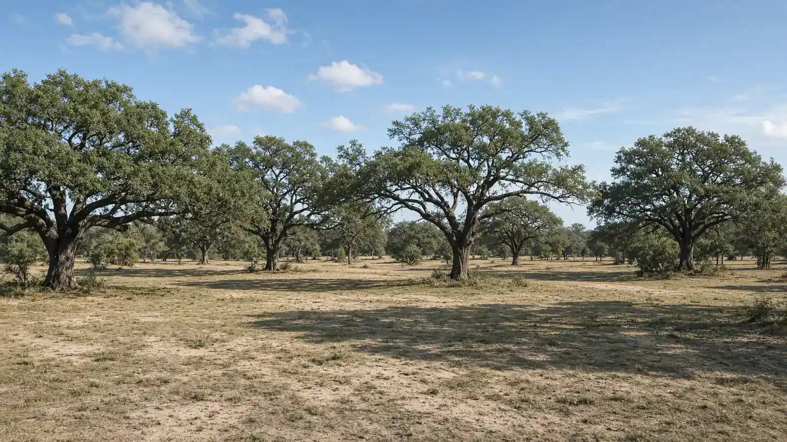
Fort McCoy and Citra sit in northeast Marion County. The land there tends to run more rural — larger cuts, county roads, wells, and septic — than a recorded lot in Marion Oaks. County planning notices for those ZIP codes often show General Agriculture (A-1) and similar rural classifications. That is not a blanket label for every parcel. You read the map for the parcel you want.
If you want acreage, fence line, or woods instead of a platted lot, say Fort McCoy or Citra when you call. I will tell you what I have and what I can look at.
Zoning, wells and septic in Marion County
Marion County Growth Services keeps the zoning and future land use maps. Their GIS interactive map shows parcel boundaries, zoning, future land use, overlay zones, and aerials. The county says the map is informational — verify with official records. Planning Division: 2710 E. Silver Springs Blvd., Ocala, 352-438-2600.
The Future Land Use Map includes categories such as Rural Land (one dwelling per ten acres on the map legend), residential ranges, commercial, public, preservation, a Farmland Preservation Area, and an Urban Growth Boundary. Which designation sits on your parcel is a map question, not a homepage guess.
The Farmland Preservation Area is a county overlay meant to keep agricultural land in agricultural use. Inside that area, the comprehensive plan limits some density-bonus programs. If you are buying pasture or farm acreage, ask whether the parcel ID sits in that overlay. I will say Ocala horse country and point you at the map.
Well and septic on vacant acreage are a separate file from the deed. Florida DEP’s onsite sewage program lists Marion County among the counties where DEP permits onsite systems. Permits come from the county and the state. I sell land and I advertise land.
Start with the Marion County GIS interactive map. Then call 352-780-8850 with the parcel ID or the community name. I answer as Sean Kaptaine, Florida land investor.
Call with the community name or the parcel ID. I sell by owner, I advertise other owners’ land here, and I buy land. Owner financing is available on select parcels I sell; terms are written on that parcel. This hub is the county map. The phone is the next step.
A recorded lot in Marion Oaks, a Rainbow Lakes Estates street, a Silver Springs Shores parcel ID, and a Fort McCoy or Citra acreage tract are four different files. Say which one you want. I will not mix them on the call.
Have the Marion County parcel ID if you can. If you only have a street or a community name, start there. I will tell you what I can show you in that area. Photos of the corners help if you are selling.
Call about land in Ocala, FL