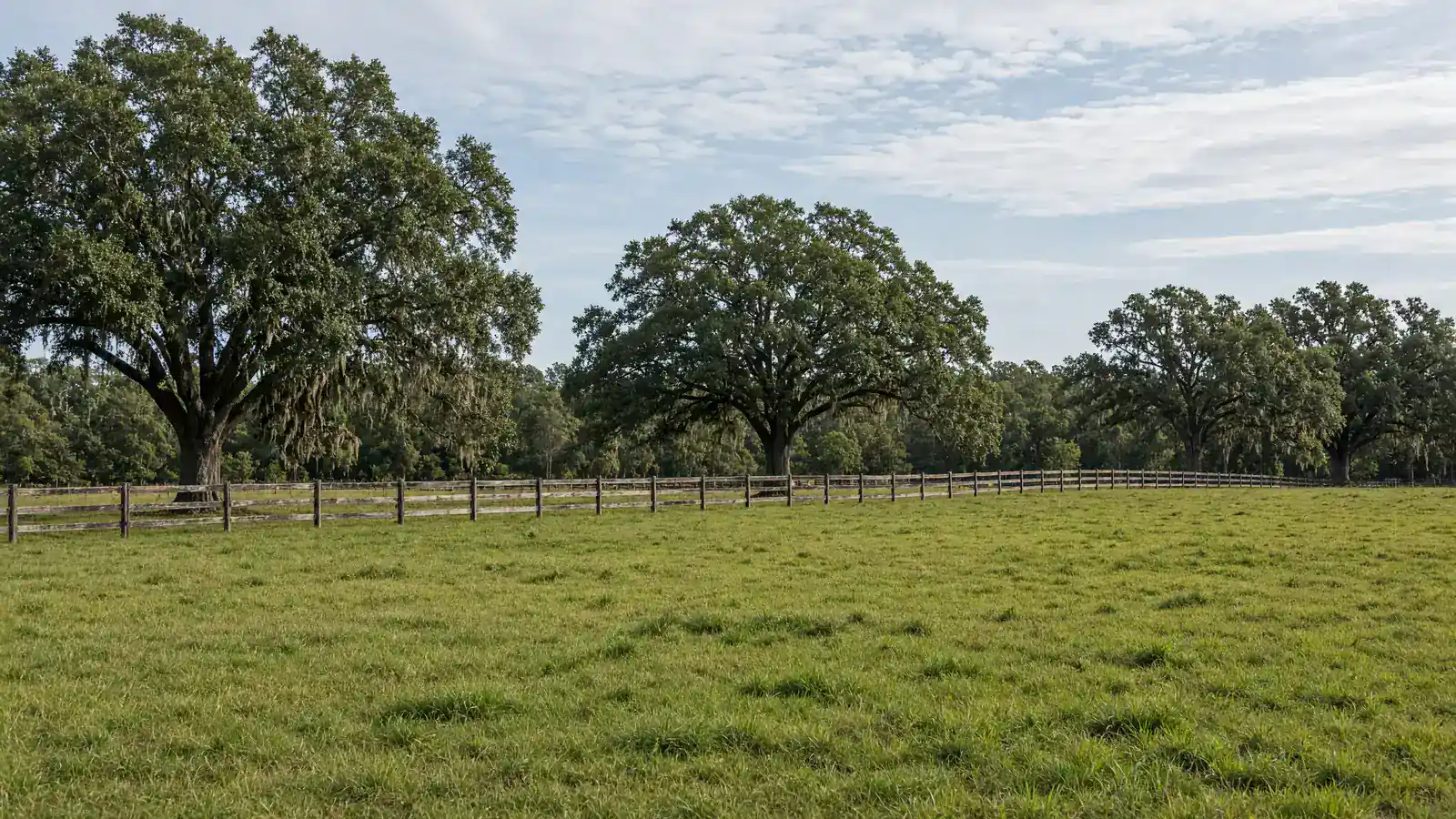
Buyers looking at rural land for sale in Ocala should check whether the parcel sits in Marion County’s Farmland Preservation Area before they write a check. Call 352-780-8850 with the parcel ID and I will look at that map with you on this call today, in Marion County, Florida. Call 352-780-8850.
I’m Sean Kaptaine, a Florida land investor. The Farmland Preservation Area is a county overlay on the Future Land Use Map. It is not a brand. I say Ocala horse country and I point you at the map.
What the Farmland Preservation Area is in Marion County
Marion County’s comprehensive plan text on the Farmland Preservation Area says it is “intended to encourage preservation of agriculture as a viable use of lands and an asset of Marion County’s economy and to protect the rural character of the area.” The 2045 Future Land Use Map legend shows that overlay next to the Urban Growth Boundary. Rural Land on that legend is one dwelling per ten acres. Which of those lines crosses your parcel is a GIS question.
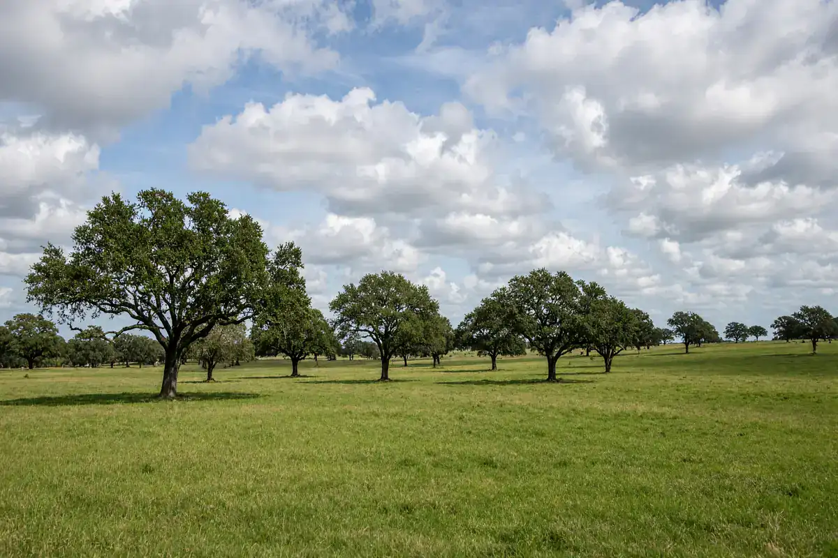
The county designates the Farmland Preservation Area as a sending area in its transfer-of-development-rights program for properties designated Rural Land. County plan text also says: “Hamlet and Cluster Density Bonus developments shall not be permitted within the FPA.” That is a density rule on the overlay. Confirm it on the current map and the current plan.
Open Growth Services GIS. The county says: “The GIS map is a helpful resource for residents, property owners, developers, & consultants seeking general information about sites & surrounding areas within Marion County.” Turn on future land use and overlays. If the parcel sits in the FPA, read the current comprehensive plan policies that apply. I describe the tract. The county confirms the overlay.
How the overlay affects a land purchase
If you want pasture, hay, or a small farm, the overlay can be the reason the land still looks like farm land. If you want a dense residential cut, the overlay is the first line to read. Say the use on the call so we are looking at the same map.
County plan text says any comprehensive plan amendment that would increase development intensity or density within the FPA, or that would remove one or more parcels from the FPA, has to be accompanied by a concurrent amendment to extend the Urban Growth Boundary, or create a new one, to include those parcels, with a published exemption for certain Rural Activity Center expansions. That is a plan process, not a handshake. I sell land and I advertise land. The county writes the overlay.
Well and septic still apply on vacant farm acreage. Access, flood zone, and the legal description still have to match the ground. Confirm those items with Marion County for that parcel ID.
Checking a parcel ID against the Farmland Preservation Area map
Bring the parcel ID. Pull the Property Appraiser record. Open GIS. Look at future land use, the FPA line, and the Urban Growth Boundary. Then walk the corners. A fence and a barn pad on the ground do not move the line on the map.
If you own farm acreage in Marion County and want it advertised here by owner, or you want an offer, call with the parcel ID, acreage, and asking price. Tell me if the land is pasture, woods, or a mix.
A recorded lot in Marion Oaks is rarely the FPA conversation. Pasture and woods in the rural area are. Keep those files separate on the call. You confirm the overlay, zoning, flood zone, access, and utilities with Marion County before you buy.
Fort McCoy and Citra acreage and the Farmland Preservation Area
Fort McCoy and Citra acreage is where this overlay comes up most often on my calls. See Fort McCoy and Citra acreage for how I treat that part of the county. A recorded lot in Marion Oaks is a different file.
Walk the corners after you look at GIS. A barn on the neighbor’s tract does not move the line on yours. Keep the FPA conversation on one parcel at a time so the map and the ground stay aligned on that purchase.
I sell land by owner. I advertise other owners’ farm acreage here. I buy land when the parcel ID and the asking price line up. The overlay is still a county line on the map.
If you are selling, the same file helps. Parcel ID, acreage, asking price, and whether you want a by-owner page or an offer. If you are buying, name the road west of Citra or a pasture near Fort McCoy. I will tell you what I can show you.
The Rural Land box on the Future Land Use Map is one dwelling per ten acres on the county legend. The Farmland Preservation Area is a separate overlay on that same series. The Urban Growth Boundary is a third line. A tract can sit on more than one of those. Pull GIS with the parcel ID in hand so you are reading the same layers I am. Then walk the corners. A hay field on the ground does not rewrite the legend.
Bring photos of the fence line and a copy of the tax bill if you are selling. Bring the use you have in mind if you are buying: pasture, hay, a house later, or woods you want to leave. Those uses sit on different code paths even when they share a road. Keep one parcel on the call. I will tell you whether I have land in that area or whether I am looking at an offer on yours.
Start with the Marion County GIS interactive map. Then call 352-780-8850 with the parcel ID and the use you have in mind. I answer as Sean Kaptaine, Florida land investor.
Call with one parcel ID at a time. I will look at that map with you.
Call about land in Ocala, FL